
Country United States City St. Louis ZIP code(s) Parts of 63112, 63130 Area 2.642 km² Area code 314 | State Missouri Wards 22, 26, 28 Website stlouis-mo.gov Population 6,574 (2010) | |
 | ||
Restaurants Eclipse Restaurant, Gokul Indian Restaurant, Original Cast Lighting Inc, Delmar Restaurant & Lounge, Mission Taco Joint | ||
Central west end st louis
West End is a neighborhood of St. Louis, Missouri. This neighborhood is defined by Page Boulevard on the North, Delmar Boulevard on the South, Belt Avenue and Union Boulevard via Maple Avenue on the East, and City limits on the West. The neighborhood is home to the Emmanuel DeHodiamont House, one of the two oldest houses in St. Louis.
Contents
- Central west end st louis
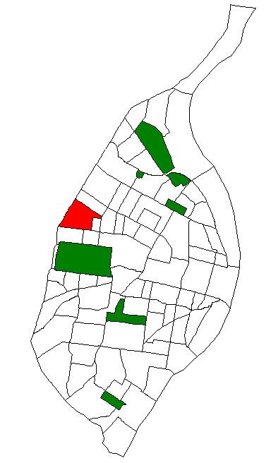
- Map of West End St Louis MO USA
- Central west end st louis missouri december 2011
- Demographics
- References
Map of West End, St. Louis, MO, USA
Central west end st louis missouri december 2011
Demographics
In 2010 West End's population was 84.9% Black, 8.1% White, 0.2% Native American, 1.5% Asian, 2.5% Two or More Races, and 2.8% Some Other Race. 3.8% of the population was of Hispanic or Latino Origin.
References
West End, St. Louis Wikipedia(Text) CC BY-SA