
Population 255 (2011) Sovereign state United Kingdom | OS grid reference TF109092 Post town PETERBOROUGH Local time Friday 11:22 PM | |
 | ||
Weather 10°C, Wind S at 14 km/h, 79% Humidity UK parliament constituency South Holland and The Deepings | ||
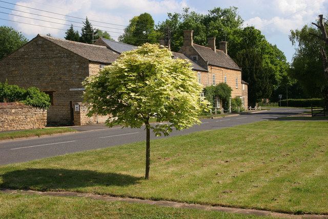
West Deeping is a village and civil parish in the South Kesteven district of Lincolnshire, England. The population of the civil parish at the 2011 census was 255. It is situated on the A1175 road, 5 miles (8 km) east from Stamford and 2 miles (3.2 km) west from Market Deeping. It is the smallest of The Deepings group of villages situated around the A1175 road. Village population is 277.
Map of West Deeping, Peterborough, UK
The Roman Road of King Street passes through the village and crosses the A16.
The church of St Andrew dates back to the 13th century, with further additions in 1676 and 1803 and a restoration in 1876-77, and is Early English, Decorated and Perpendicular in style. It is part of The Uffington Group of the Deanery of Stamford, in the Diocese of Lincoln.
The village public house is the Red Lion.