
Unitary authority Postcode district BN3 Local time Friday 10:06 PM UK parliament constituency Hove | Sovereign state United Kingdom Dialling code 01273 Post town Brighton | |
 | ||
Weather 10°C, Wind SE at 10 km/h, 86% Humidity | ||
West Blatchington is an area in Hove, East Sussex, England.
Map of West Blatchington, Hove, UK
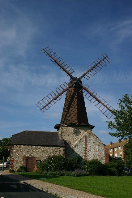
The area grew rapidly in the inter-war period, but unlike nearby Hangleton it had more infrastructure, with St Peter's Church, a working farm, a windmill and an industrial area grouped around the Goldstone Pumping Station and its workers' cottages.
Blatchington Mill School, formed in 1979 from the Hove County Grammar School, Knoll Boys School and Nevill Secondary School, lies in the centre of West Blatchington.
The area is crossed by the Monarch's Way long-distance footpath, heading towards its terminus at Shoreham-by-Sea.
References
West Blatchington Wikipedia(Text) CC BY-SA