
Population 5,689 (2011) Region West Midlands Post town STOKE-ON-TRENT Shire county Staffordshire Sovereign state United Kingdom Dialling code 01782 | OS grid reference SJ9403147560 Country England Police Staffordshire District Staffordshire Moorlands Postcode district ST9 UK parliament constituency Staffordshire Moorlands | |
 | ||
Neighborhoods Cellarhead, Washerwall, Armshead | ||
For other places with the same name, see Werrington.
Map of Werrington, Stoke-on-Trent, UK
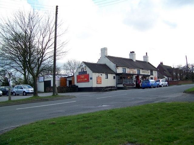
Werrington is a small village in the Staffordshire moorlands district of Staffordshire, England. Standing 875 ft above sea level and known for its windmill standing at the summit, Werrington has gone through substantial expansion in the last few years.
Moorside High School is located in Werrington. The village is also home to HM Prison Werrington, a prison for male juveniles.
References
Werrington, Staffordshire Wikipedia(Text) CC BY-SA