
Postcode(s) 3240 Postal code 3240 | Time zone AEST (UTC) Elevation 200 m | |
 | ||
Location 100 km (62 mi) from Melbourne36 km (22 mi) from Geelong41 km (25 mi) from Colac | ||
Wensleydale is a small rural community in Victoria, Australia.
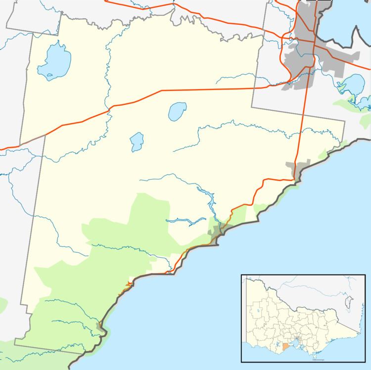
Map of Wensleydale VIC 3241, Australia
Wordieboluc Post Office opened on 15 March 1866 and was replaced by the Wensleydale office in 1872. It closed in 1955.
Wensleydale was the terminus of a railway line which branched from the Port Fairy line near Moriac. The line opened in 1890 and was used to transport firewood, gravel and brown coal out of the area. It was closed in 1948.
Wensleydale School opened on 1 January 1869 as a common school and became a state school in 1873. The school ceased to be staffed in 1951 and formally closed on 16 December 1953. The buildings were moved to the school at Colac West.
References
Wensleydale, Victoria Wikipedia(Text) CC BY-SA