
Highest elevation 1,463 m (4,800 ft) Region Magallanes | Coastline 1,596.8 km (992.21 mi) Highest point Unnamed | |
 | ||
Area 5,555.7 km (2,145.1 sq mi) | ||
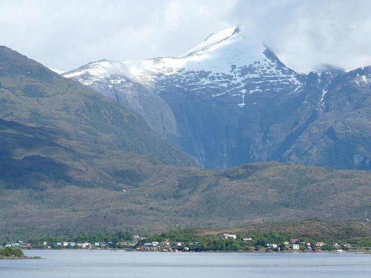
Wellington Island is an island west of Southern Patagonian Ice Field, Chile. It has an area of 5,556 km² and most of the island forms part of Bernardo O'Higgins National Park. It is home to the last Kawésqar people, living in the village of Puerto Edén, the only inhabited place on the island.
Map of Willingdon Island, Kazhuthumuttu, Thoppumpady, Kochi, Kerala 682002
References
Wellington Island Wikipedia(Text) CC BY-SA