
First contested 2007 Electors (2011) 86,257 Area (km²) 583 Elector 86,257 | Population (2006) 112,875 Pop. density (per km²) 193.6 Last contested 2014 District created 2006 | |
 | ||
Legislature Legislative Assembly of Ontario Census subdivisions Welland, Thorold, Port Colborne, Wainfleet, St. Catharines MPP Cindy Forster; New Democratic Census divisions Regional Municipality of Niagara, Welland, Thorold, Port Colborne, Wainfleet, Ontario, St. Catharines | ||
Welland is a provincial electoral district in Ontario, Canada, represented from 1867 until 1977 and again since 2007 (under different boundaries) in the Legislative Assembly of Ontario . Its population in 2006 was 112,875.
A new riding of Niagara Centre was created before the 1999 election from small parts of the Lincoln and St. Catharines—Brock ridings, and almost all of the Welland—Thorold riding. The current electoral district was created in 2003: 74.9% of the riding came from Niagara Centre riding, 22.5% from Erie—Lincoln and 2.7% from Niagara Falls riding. The name was changed to Welland during redistricting in 2006.
Geography
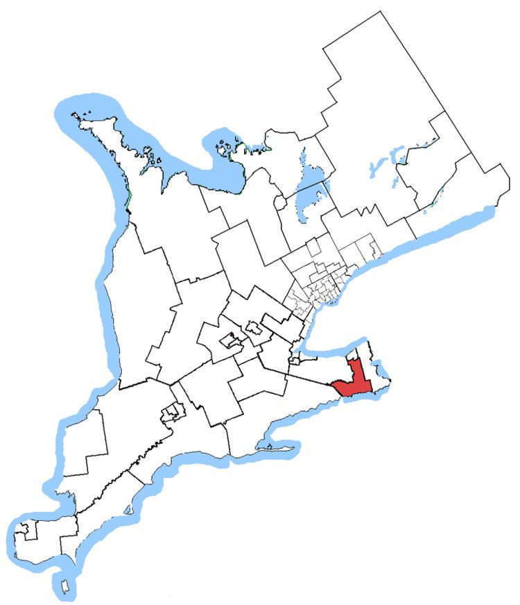
The modern Welland riding consists of the cities of Welland, Thorold, and Port Colborne, the Township of Wainfleet, and the part of the City of St. Catharines lying south of a line drawn from the western city limit east along St. Paul Street West, northeast along St. Paul Crescent, east and south along Twelve Mile Creek, and east along Glendale Avenue to the eastern city limit.[1]