
County Anderson FIPS code 20-76425 Population 129 (2010) | Time zone Central (CST) (UTC-6) Elevation 335 m Local time Sunday 6:56 PM | |
 | ||
Weather 24°C, Wind S at 34 km/h, 61% Humidity Area 241 ha (241 ha Land / 2 ha Water) | ||
Welda is a census-designated place in Anderson County, Kansas, United States. As of the 2010 census, the population was 129.
Contents
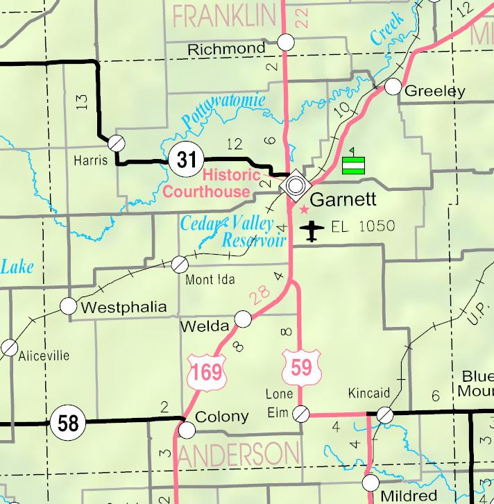
Map of Welda, KS 66091, USA
History
Welda was platted in 1873, soon after the railroad was extended to that point in 1870. The first post office in Welda was established in 1874.
The railroad tracks in Welda have since been converted to a rail trail. The trail is part of the Prairie Spirit Trail State Park.
Geography
Harris is located at 38°10′9″N 95°17′41″W. According to the United States Census Bureau, the CDP has a total area of 0.93 square miles (2.4 km2), of which 0.0077 square miles (0.02 km2), or 0.79%, is water.
Education
Unified School District No. 365 operates Mont Ida Elementary School in Welda and Anderson County Junior-Senior High School in Garnett.
Welda schools were closed through school unification. The Welda High School mascot was Welda Pirates.