
Zip code 95546 | Elevation 110 m Local time Sunday 3:24 PM | |
 | ||
Weather 17°C, Wind S at 21 km/h, 34% Humidity | ||
Weitchpec (formerly, Durkee's Ferry and Weitchpec Bar) (Karuk: ansáfriik, Yurok: Wechpues, Wech) is an unincorporated community in Humboldt County, California, United States. It is located 35 miles (56 km) northeast of Eureka, at an elevation of 361 feet (110 m). The ZIP Code is 95546.
Contents
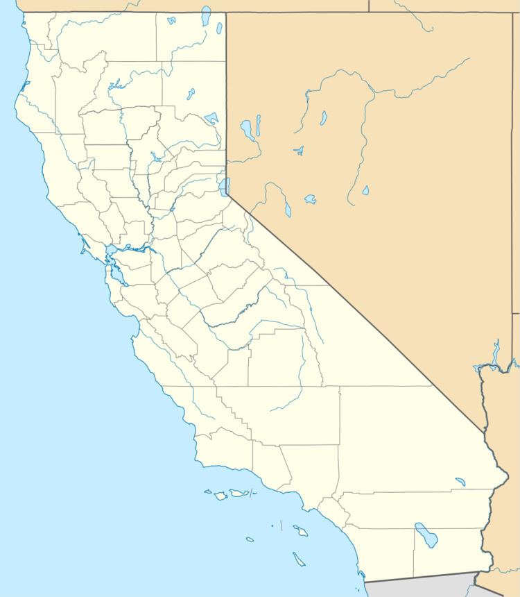
Map of Weitchpec, CA 95546, USA
Weitchpec (pronounced Wech-Peck) is located in the northwestern part of the state at the confluence of the Klamath and Trinity Rivers, and the junction of State Highways 96 and 169.
History
Weitchpec was originally the site of a Yurok village. The name Durkee's Ferry recalls Clark W. Durkee, who operated a ferry at the place in 1851. In 1855, a temporary Federal post called Camp Strowbridge was established at Weitchpec, it was later called Fort Wool. The settlement was first within the bounds of Trinity County, then in 1851 Klamath County and after 1874, Humboldt County. A post office operated at Weitchpec from 1858 to 1860 and from 1891 to 1962.
Today Weitchpec features Pearson's Grocery, a small store/gas station; the Yurok Tribal Office and Community Center; and Weitchpec Elementary School. As of 2010, evening classes were available in Weitchpec in the Yurok language.
2012 earthquake
A 5.6 earthquake with an epicenter near Weitchpec struck on February 13, 2012.