
Admin. region Oberpfalz Municipal assoc. Schönsee Local time Sunday 9:38 PM Postal code 92557 | District Schwandorf Elevation 671 m (2,201 ft) Population 564 (31 Dec 2008) | |
 | ||
Weather 11°C, Wind SE at 6 km/h, 64% Humidity | ||
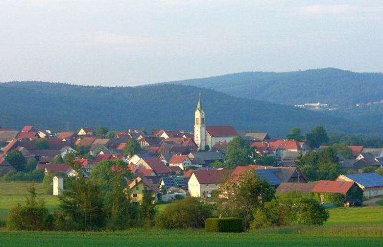
Weiding is a municipality in the district of Schwandorf in Bavaria, Germany.
Contents
Map of Weiding, Germany
History
In the 10th and 11th centuries, Bavarian settlers wandered from Nabburg to the east. Weiding was founded before 1270 and is one of the oldest villages of the region. It frequently changed ownership and in 1803, it was finally sold to the Earl of Du Moulin-Eckart to whom it still belongs today.
Geography
Weiding is located on a plateau with the mountain Frauenstein to the southwest and the Hüttenbach-valley to the east, with the hamlets Reimermühle, Sägmühle, Andreasthal and Löwenthal.
Villages and hamlets
Religion
In 1280 a stone church of St. Nikolaus is mentioned in an urbarium. It was destroyed by the Hussites in the 15th century. The rebuilt church burned down in 1836. The current church was built in 1842 and like the others dedicated to St. Nikolaus. To the parish of Weiding belong also the church St. Laurentius of Schönau and the church St. Michael of Hannesried. 95% of the inhabitants of Weiding are Catholics.
Priests in Weiding since 1900:
since 1991 Jan Adrian Łata