
 | ||
Elevation 1,190 m above sea level (NHN) (3,900 ft) | ||
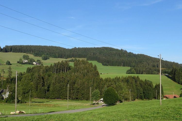
The Weißtannenhöhe is a mountain, 1,190 metres high, in the Black Forest in Germany and the highest point in the municipality of Breitnau.
Map of Weisstannenhohe, 79874 Breitnau, Germany
Across the Oberbach valley, 2 kilometres to the west, is the Roßberg (1125 m).
References
Weißtannenhöhe Wikipedia(Text) CC BY-SA