
Country United States GNIS feature ID 912202 Population 63 (2010) Area code 575 | Time zone Mountain (MST) (UTC-7) Elevation 2,148 m Local time Sunday 12:06 PM | |
 | ||
Weather 18°C, Wind W at 43 km/h, 12% Humidity Area 23.27 km² (23.26 km² Land / 1 ha Water) | ||
Weed is a census-designated place in Otero County in southern New Mexico, USA. It lies alongside New Mexico State Road 24 on the eastern slopes of the Sacramento Mountains at an elevation of 7,047 ft. It has had a Post Office since 1885. As of the 2010 census, its population was 63.
Contents
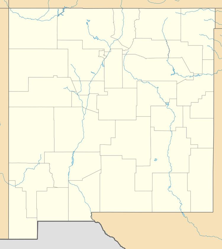
Map of Weed, NM, USA
History
Weed was founded in 1884 by George and Elizabeth Lewis. It was named after William H. Weed, who opened a branch store there.
Weed is the birthplace of actor Glenn Strange.
References
Weed, New Mexico Wikipedia(Text) CC BY-SA