
OS grid reference SU680110 Local time Sunday 6:08 PM Postcode district PO8 | Sovereign state United Kingdom Population Approx 5000 Dialling code (023) | |
 | ||
Weather 17°C, Wind SW at 19 km/h, 55% Humidity | ||
Wecock Farm is a 1970s council estate on the western edges of Waterlooville originally built by Portsmouth City Council. Its lineage can be traced back to the 16th century and is described as 'a place called Wycock' in 1591
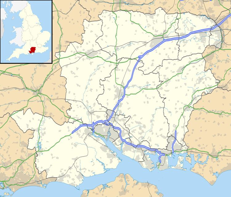
Map of Wecock Farm, Waterlooville, UK
The estate's centre was redeveloped in 2003 with new housing, and new buildings for the community centre and a popular Chinese take-away.
References
Wecock Farm Wikipedia(Text) CC BY-SA