
Quadrant NW Sector West Area 117 ha | Ward 1 Elevation 695 m Population 549 (2012) | |
 | ||
Restaurants Grain Of Rice, panagos pizza, Mary Browns, McDonal | ||
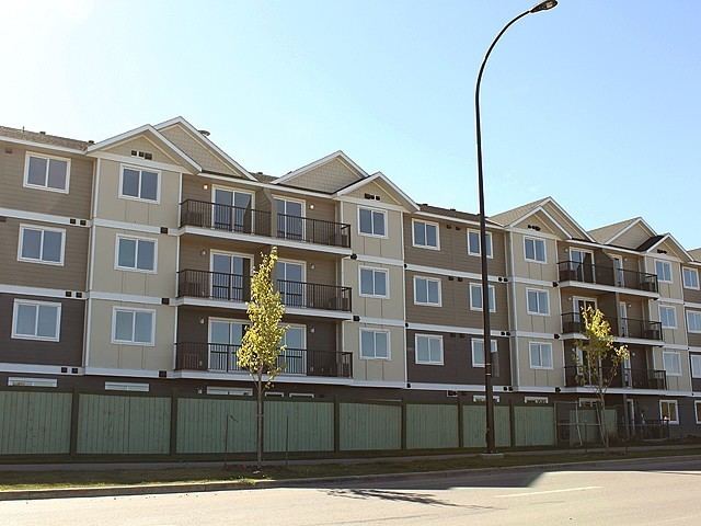
Webber Greens is a new neighbourhood in west Edmonton, Alberta, Canada. It is bounded on the east by Anthony Henday Drive and on the west by Winterburn Road.
Contents
Map of Webber Greens, Edmonton, AB, Canada
The Anthony Henday provides access to destinations to the south of the city including the Edmonton International Airport.
As of January 20, 2008, the City of Edmonton map utility contained virtually no data on this area. As this area develops, more data should become available.
Demographics
In the City of Edmonton's 2012 municipal census, Webber Greens had a population of 549 living in 279 dwellings. With a land area of 1.17 km2 (0.45 sq mi), it had a population density of 469.2 people/km2 in 2012.
References
Webber Greens, Edmonton Wikipedia(Text) CC BY-SA