
Country United States GNIS feature ID 0454036 Area 94.25 km² Population 1,590 (2010) | ZIP codes 47933, 47990 Elevation 247 m Local time Sunday 12:16 PM | |
 | ||
Weather 21°C, Wind S at 29 km/h, 46% Humidity | ||
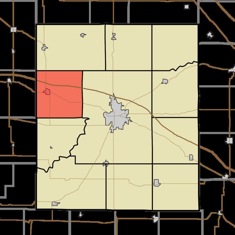
Wayne Township is one of eleven townships in Montgomery County, Indiana, United States. As of the 2010 census, its population was 1,590 and it contained 691 housing units.
Contents
- Map of Wayne Township IN USA
- Geography
- Cities towns villages
- Unincorporated towns
- Cemeteries
- Major highways
- School districts
- Political districts
- References
Map of Wayne Township, IN, USA
Geography
According to the 2010 census, the township has a total area of 36.39 square miles (94.2 km2), of which 36.38 square miles (94.2 km2) (or 99.97%) is land and 0.01 square miles (0.026 km2) (or 0.03%) is water.
Cities, towns, villages
Unincorporated towns
Cemeteries
The township contains these two cemeteries: Potts and Thompson.
Major highways
School districts
Political districts
References
Wayne Township, Montgomery County, Indiana Wikipedia(Text) CC BY-SA