
Country United States GNIS feature ID 0766327 Area 282.1 km² Population 1,299 (2010) | FIPS code 29-77956 Elevation 137 m Local time Sunday 11:13 AM | |
 | ||
Weather 22°C, Wind S at 32 km/h, 55% Humidity | ||
Wayne Township is one of eight townships in Bollinger County, Missouri, USA. As of the 2000 U.S. Census, its population was 1,415. As of the 2010 U.S. Census, the population had decreased to 1,299. Wayne Township covers an area of 108.91 square miles (282.1 km2).
Contents
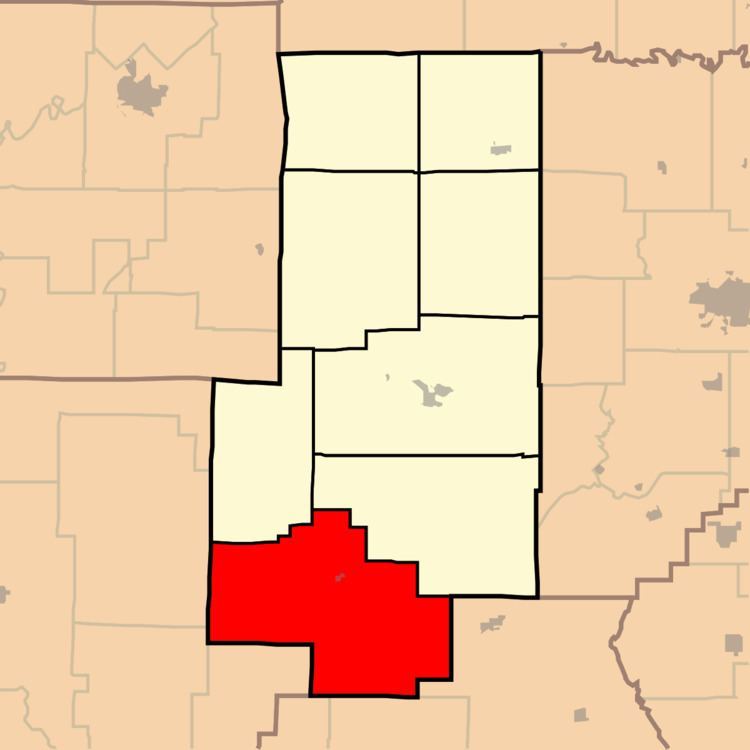
- Map of Wayne Township MO USA
- Demographics
- Incorporated Areas
- Unincorporated Areas
- Cemeteries
- Streams
- Landmarks
- School Districts
- Political Districts
- References
Map of Wayne Township, MO, USA
Demographics
As of the 2010 U.S. Census, there were 1,299 people residing in the township. The population density was 11.93 people per square mile (19.20/km²). There were 740 housing units in the township. The racial makeup of the township was 99.31% White, 0.15% Asian, and 0.54% from two or more races. Approximately 0.69% of the population were Hispanic or Latino of any race.
Incorporated Areas
The township contains one incorporated settlement: Zalma.
Unincorporated Areas
The township contains the unincorporated areas and historical communities of Arab, April Hills, Gipsy, Greenbrier, and Sturdivant.
Cemeteries
The township contains the eight following cemeteries: Cato, Clubb, Cox, Eakers, Maddox, Speer, Sturdivant, and White.
Streams
The streams of Bear Creek, Brush Creek, Cypress Slough, Jesse Creek, Lick Log Creek, Mitz Branch, Perkins Creek, Pond Creek, Slagle Creek, and Talley Branch flow through Wayne Township. Other bodies of water located in the township include the Castor River, Cypress Pond, the Headwater Diversion Channel, and Wonder (Sherman's) Lake.