
Country United States Established November 6, 1849 Time zone CST (UTC-6) Population 90,893 (2010) University STATE CAREER COLLEGE | County Lake Elevation 650 ft (198 m) GNIS feature ID 0429903 Local time Sunday 8:15 AM | |
 | ||
Weather 15°C, Wind S at 26 km/h, 55% Humidity | ||
Waukegan Township is a township in Lake County, Illinois, USA. As of the 2010 census, its population was 90,893.
Contents
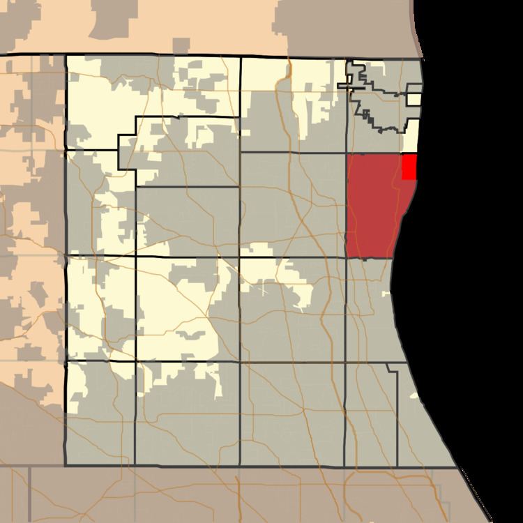
- Map of Waukegan Township IL USA
- Geography
- Cities and towns
- Adjacent townships
- Cemeteries
- Major highways
- Airports and landing strips
- References
Map of Waukegan Township, IL, USA
Geography
Waukegan Township covers an area of 21.4 square miles (55.3 km2); of this, 0.31 square miles (0.8 km2) or 1.41 percent is water. Lakes in this township include Dead Lake. Sunderland Creek and the Waukegan River run through this township.
Cities and towns
Adjacent townships
Cemeteries
The township contains five cemeteries: Am Echod Jewish, North Shore Garden of Memories, Oakwood, Pahlman Family and Saint Marys.
Major highways
Airports and landing strips
References
Waukegan Township, Lake County, Illinois Wikipedia(Text) CC BY-SA