
Country United States County Lake Time zone CST (UTC-6) Elevation 243 m Population 21,730 (2010) | State Illinois Established November 6, 1849 GNIS feature ID 0429902 Local time Sunday 8:10 AM | |
 | ||
Weather 14°C, Wind S at 26 km/h, 62% Humidity Area 62.68 km² (59.31 km² Land / 3.626 km² Water) Points of interest Volo Auto Museum, Bangs Lake, Cook Memorial Park, Wauconda Park District, Singing Hills Forest Preserve | ||
Wauconda Township is a township in Lake County, Illinois, USA. As of the 2010 census, its population was 21,730.
Contents
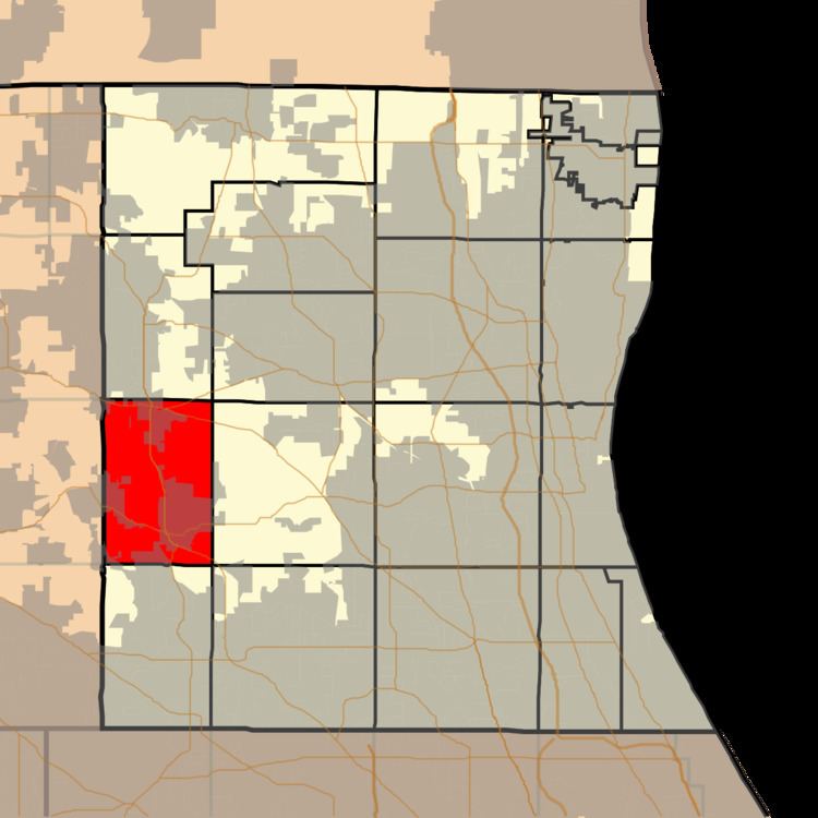
- Map of Wauconda Township IL USA
- Geography
- Cities and towns
- Adjacent townships
- Cemeteries
- Major highways
- Airports and landing strips
- References
Map of Wauconda Township, IL, USA
Geography
Wauconda Township covers an area of 24.2 square miles (62.8 km2); of this, 1.4 square miles (3.5 km2) or 5.59 percent is water. Lakes in this township include Bangs Lake and Slocum Lake. The stream of Mutton Creek runs through this township.
Cities and towns
Adjacent townships
Cemeteries
The township contains four cemeteries: Fisher Family, Saint Peters, Volo and Wauconda.
Major highways
Airports and landing strips
References
Wauconda Township, Lake County, Illinois Wikipedia(Text) CC BY-SA