
Local time Sunday 8:07 AM | ||
 | ||
Weather 12°C, Wind S at 14 km/h, 67% Humidity | ||
Waubeka is an unincorporated census-designated place in the town of Fredonia, Ozaukee County, Wisconsin, United States, in the Milwaukee-Waukesha metro area. As of the 2010 census, its population is 657. It was named for an Indian chief, whose name means "metallic substance".
Contents
Map of Waubeka, WI 53021, USA
Geography
Its altitude is 797 feet (293 m), and it is located at 43°28′30″N 87°59′25″W (43.4749994, -87.9903696). Waubeka has an area of 2.416 square miles (6.26 km2); 2.343 square miles (6.07 km2) of this is land, and 0.073 square miles (0.19 km2) is water.
Flag Day
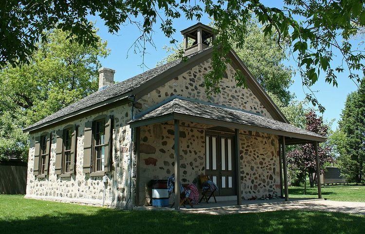
The origin of Flag Day is traced to Waubeka. In 1885, Stony Hill School teacher Bernard John Cigrand displayed a 10-inch (25 cm) flag in an inkwell and had his students write essays on what the flag meant to them. He told the students that June 14 was the birthday of the flag. The school is now considered a historic site.
Waubeka is home to the National Flag Day Foundation Americanism Center.