Population 344 (2011 census) Watsonville CarringtonWongabel Local time Sunday 10:33 PM | Postcode(s) 4856 State electorate(s) Dalrymple Postal code 4856 | |
 | ||
Weather 17°C, Wind E at 10 km/h, 87% Humidity | ||
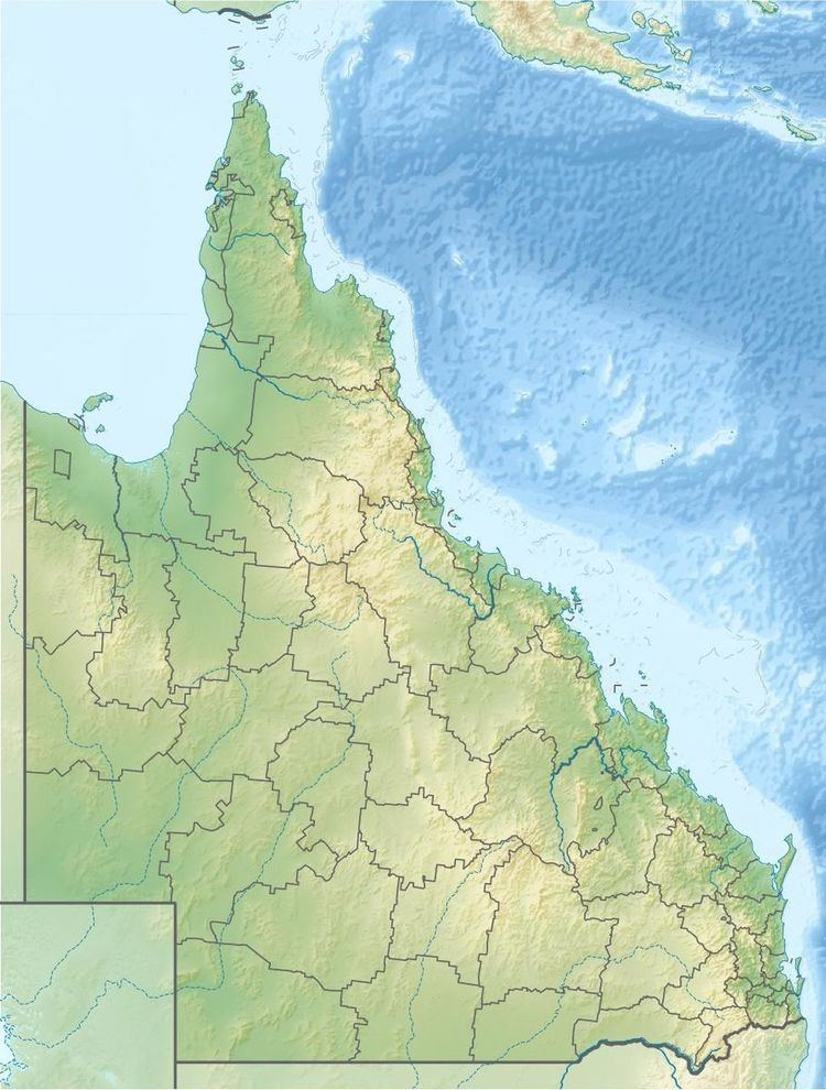
Watsonville is a town and locality in North Queensland, Australia. It is within the local government area of Shire of Mareeba (between 2008 and 2013, it was within the Tablelands Region). At the 2011 census the town recorded a population of 344.
Contents
Map of Watsonville QLD 4887, Australia
History
Watsonville is a former mining town. The town was named after Robert H. Watson, a tin prospector, who discovered a local deposit on 19 Feb 1881. The town was surveyed by William J. White on 0 March 1882.
Heritage listings
Watsonville has a number of heritage-listed sites, including:
References
Watsonville, Queensland Wikipedia(Text) CC BY-SA
