
Country United States Time zone CST (UTC-6) Area 92.8 km² Population 3,193 (2010) | Established November 6, 1860 Elevation 169 m Local time Sunday 7:18 AM | |
 | ||
ZIP codes 62401, 62424, 62467, 62473 Weather 14°C, Wind SE at 18 km/h, 58% Humidity | ||
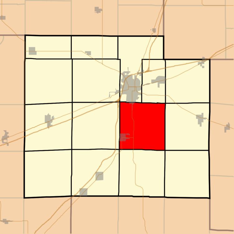
Watson Township is one of fifteen townships in Effingham County, Illinois, USA. As of the 2010 census, its population was 3,193 and it contained 1,263 housing units.
Contents
- Map of Watson Township IL USA
- Geography
- Cities towns villages
- Unincorporated towns
- Cemeteries
- Major highways
- Airports and landing strips
- School districts
- Political districts
- References
Map of Watson Township, IL, USA
Geography
According to the 2010 census, the township (T7N R6E) has a total area of 35.83 square miles (92.8 km2), all land.
Cities, towns, villages
Unincorporated towns
Cemeteries
The township contains these five cemeteries: Immanuel Lutheran, Loy Chapel, Old Loy, Rinehart and Watson.
Major highways
Airports and landing strips
School districts
Political districts
References
Watson Township, Effingham County, Illinois Wikipedia(Text) CC BY-SA