
Population 1,279 Local time Sunday 10:41 AM Dialling code 0141 | OS grid reference NS569546 Sovereign state United Kingdom Postcode district G76 | |
 | ||
Weather 12°C, Wind SW at 23 km/h, 78% Humidity | ||
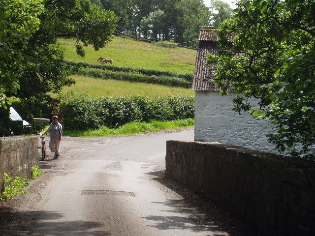
Waterfoot (Scots: Watterfit) is a hamlet in East Renfrewshire, Scotland. It is on the B767 road between Clarkston and Eaglesham, which are one mile north and south respectively, while Newton Mearns is about two miles to the west and East Kilbride about three miles to the east.
Map of Waterfoot, Glasgow, UK
The Glasgow Southern Orbital road (part of the A726) passes just to the south of Waterfoot. The hamlet lies on the west bank of the White Cart Water, and the original settlement grew up around a farm, mill and smithy. One early record of the hamlet is in Timothy Pont's maps of Scotland (1583 - 1596).
Waterfoot today is, however, purely residential in character, having expanded in the latter half of the 20th century as a commuter dormitory hamlet. Although Waterfoot is relatively affluent, there are no shops or other services, with residents having to travel to other areas to access amenities. The 2001 census reported that Waterfoot had a population of 1,279.
Hi-fi equipment company and record label, Linn Products is situated in Waterfoot.
Winifred Drinkwater, the world's first female commercial airline pilot, was born in Waterfoot on 11 April 1913.