
Country Canada Established 1786 Population 851 (2011) | County Queens County Time zone AST (UTC-4) Province New Brunswick | |
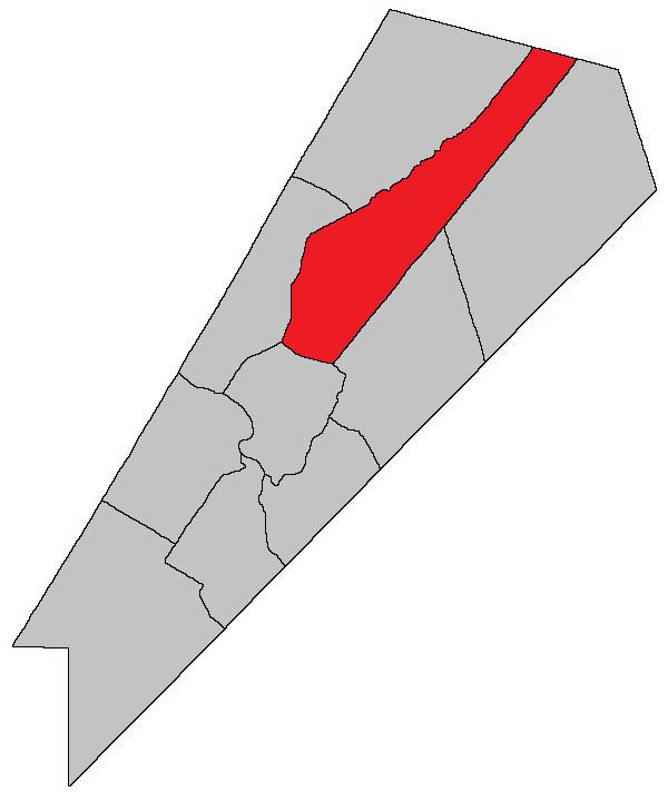 | ||
Waterborough is a Canadian parish in Queens County, New Brunswick.
Contents
- Map of Waterborough NB Canada
- History
- Delineation
- Governance
- Communities
- Bodies of water and islands
- Access Routes
- References
Map of Waterborough, NB, Canada
History
Waterborough Parish established in 1786: Waterborough Parish included Canning Parish until 1827, a portion of Chipman Parish until 1835 and Cambridge Parish until 1852.
Delineation
Waterborough Parish is defined in the Territorial Division Act as being bounded:
Southeast by Johnston and Brunswick Parishes; northeast by the County line; northwest by Chipman Parish and a line along the centre of Grand Lake from the mouth of Coal Creek to Mill Cove, and southwest by Cambridge Parish.Governance
The entire parish forms the local service district of the parish of Waterborough, established in 1966 to assess for fire protection. First aid and ambulance services were added in 1972.
Communities
Parish population total does not include incorporated municipalities (in bold):
Bodies of water and islands
This is a list of rivers, lakes, streams, creeks, marshes and Islands that are at least partially in this parish
Access Routes
Highways and numbered routes that run through the parish, including external routes that start or finish at the parish limits: