
Admin. region Mittelfranken Elevation 423 m (1,388 ft) Area 53.58 km² Population 5,999 (31 Dec 2008) | District Ansbach Time zone CET/CEST (UTC+1/+2) Local time Sunday 6:53 AM Postal code 91717 | |
 | ||
Weather 3°C, Wind SW at 3 km/h, 100% Humidity | ||
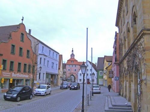
Wassertrüdingen is a town in the district of Ansbach, Middle Franconia, Bavaria, Germany. It is between the Hesselberg, the only Franconian mountain with a view on the Alps, the wooded heights of the Oettinger Forest and the foothills of the Hahnenkamm. The Fränkisches Seenland (Franconian Lake District) recreation area is 15 kilometers away. Altentrüdingen, Fürnheim, Geilsheim, Obermögersheim, Reichenbach und Schobdach are part of Wassertrüdingen
Map of Wassertr%C3%BCdingen, Germany
First documentary evidence in 836 is as truth muntiga. In 1524 Wassertrüdingen was occupied by peasants during the German Peasants' War. During the Thirty Years' War it was severely damaged and had not fully recovered yet 150 years later. In the last weeks of the Second World War the train station was bombarded.