
Country United States Elevation 225 m Local time Saturday 11:38 PM | GNIS feature ID 0454012 Area 93.58 km² Population 1,302 (2010) | |
 | ||
ZIP codes 47832, 47856, 47859, 47872 Weather 13°C, Wind SE at 14 km/h, 51% Humidity | ||
Washington Township is one of thirteen townships in Parke County, Indiana, United States. As of the 2010 census, its population was 1,302 and it contained 457 housing units.
Contents
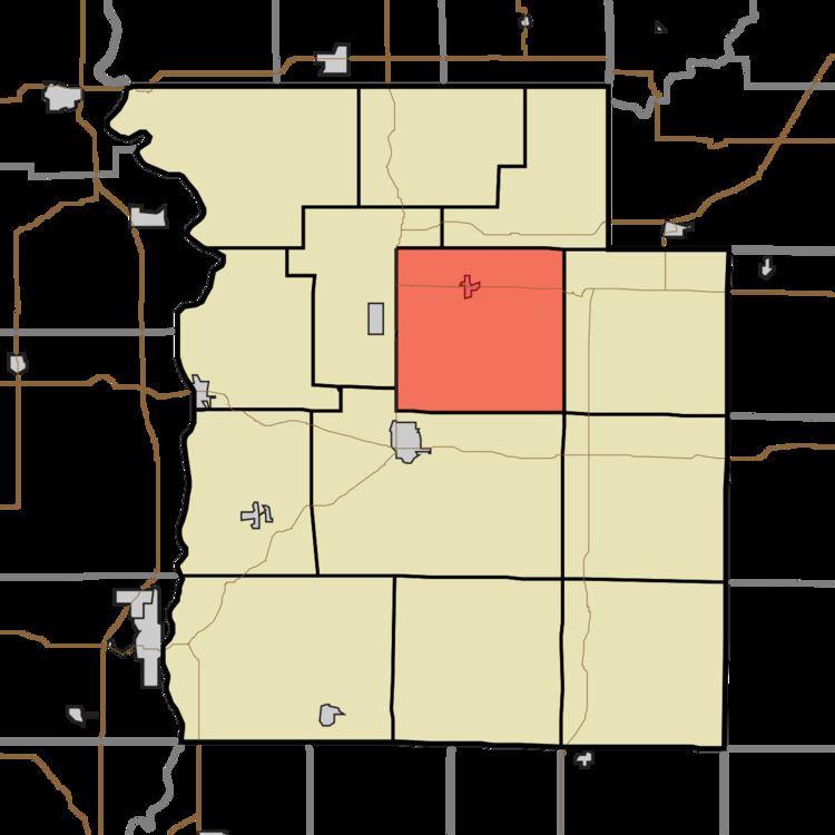
- Map of Washington Township IN USA
- History
- Geography
- Cities towns villages
- Unincorporated towns
- Cemeteries
- Major highways
- School districts
- Political districts
- References
Map of Washington Township, IN, USA
History
The Sanitorium Covered Bridge was listed on the National Register of Historic Places in 1978.
Geography
According to the 2010 census, the township has a total area of 36.13 square miles (93.6 km2), of which 35.95 square miles (93.1 km2) (or 99.50%) is land and 0.18 square miles (0.47 km2) (or 0.50%) is water.
Cities, towns, villages
Unincorporated towns
(This list is based on USGS data and may include former settlements.)
Cemeteries
The township contains these seven cemeteries: Barnes, Bethany, Buchanan, Elder, Overman, Poplar and Rawlings.
Major highways
School districts
Political districts
References
Washington Township, Parke County, Indiana Wikipedia(Text) CC BY-SA