
Country United States FIPS code 29-77236 Elevation 268 m Local time Saturday 10:26 PM | GNIS feature ID 0766346 Area 213 km² | |
 | ||
Weather 21°C, Wind S at 19 km/h, 66% Humidity Points of interest Patee House, Pony Express Museum, Krug Park, St Joseph Museums, Glore Psychiatric Museum Colleges and Universities | ||
Washington Township is one of twelve townships in Buchanan County, Missouri, USA. As of the 2000 census, its population was 75,694.
Contents
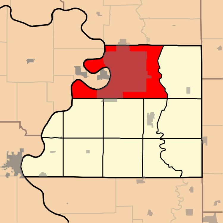
Map of Washington Township, MO, USA
Washington Township was established in 1842, and named after President George Washington.
Geography
Washington Township covers an area of 82.24 square miles (213.0 km2) and contains one incorporated settlement, St. Joseph (the county seat). It contains nine cemeteries: Ashland, B'nai Sholem, Memorial Park, Mount Auburn, Mount Mora, Mount Olivet, Nelson, Ozenberger and Walnut Grove.
Browning Lake and Lake Contrary are within this township. The streams of Candy Creek, Roys Branch and Whitehead Creek run through this township.
Transportation
Washington Township contains three airports or landing strips: Butchs Strip, Heartland Hospital West Heliport and Rosecrans Memorial Airport.