
Country United States County Cook Time zone CST (UTC-6) Asian population 0% Population 26,493 (2010) | State Illinois City Chicago Area 7.43 km² Hispanic population 1% Median income $42,053 | |
 | ||
Neighborhoods list
Brainerd
Longwood Manor
Washington Heights ZIP Codes parts of 60620, 60628 and 60643 Restaurants Uncle Joe's Jerk, Tony's Original Philly Ste, Fushing House, Dan's Hot Dogs, Mi Lindo Durango | ||
Gorgeously rehabbed home for sale in washington heights chicago
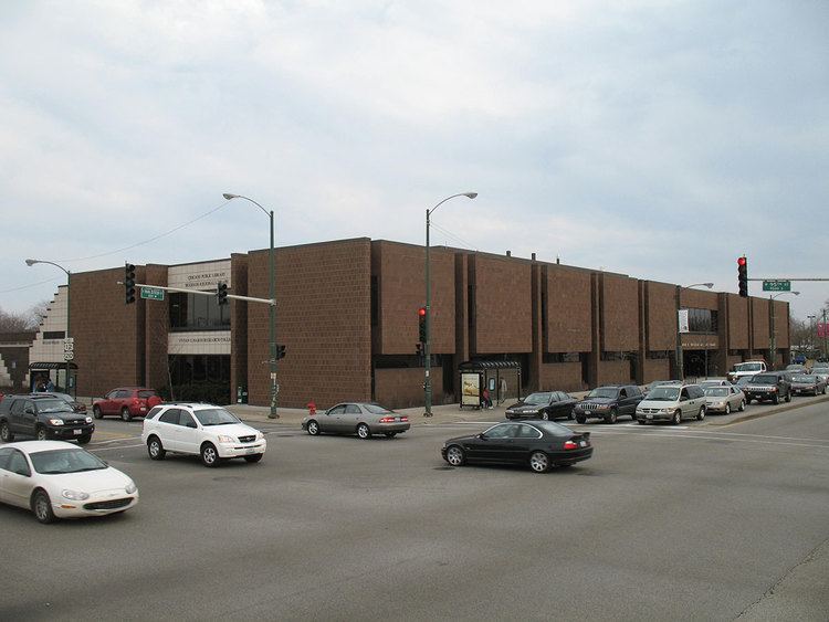
Washington Heights, one of the 77 official community areas, is located on the far south side of the city of Chicago, Illinois, loosely bordered in the south by 107th street, the north by 89th street, the west by Beverly Avenue and the East by Eggleston Avenue.
Contents
- Gorgeously rehabbed home for sale in washington heights chicago
- Map of Washington Heights Chicago IL USA
- References
Map of Washington Heights, Chicago, IL, USA
Illinois Place Names (Illinois State Historical Society Occasional Publications Number 55, 1989) indicates that the area of Washington Heights historically was also known as Blue Island Ridge, Campbell's Woods, Dummy Junction, and North Blue Island. A Post Office by the name of Washington Heights was established 25 October 1869 and dissolved 6 June 1894. As noted, it is now part of Chicago. It was one of the many small towns and villages that were annexed into the City of Chicago in the late 19th century. At this time, it was predominantly a bedroom community of German and Irish families whose immigration to the Midwestern United States began circa 1880.
The landscape of Washington Heights changed beginning in the late 1960s as a result of two factors. The West Leg extension of the Dan Ryan Expressway, more commonly known as Interstate 57, cut through the southern half of the community, dividing the area and displacing several long-time residents. It opened in October 1967. Simultaneously, a growing number of African Americans began moving into the community. Adjacent Auburn Gresham and Roseland also began experiencing white flight during the 1960s in the same way that communities to the north, such as Englewood and Greater Grand Crossing, experienced the decade prior. In the 1970s the demographics of Washington Heights changed primarily to African-American, as it still exists today. The community continues to retain its middle-class character.
Washington Heights is serviced by three Metra commuter rail stops, which provide daily inbound service to LaSalle Street Station in Chicago and outbound service to Joliet. A CTA red line stop at 95th St. is also available along the Dan Ryan Expressway in nearby Roseland.
Washington Heights has seen redevelopment in recent years. One of the largest single-family home developments in the city, "The Renaissance at Beverly Ridge," is under construction in the southwest corner of Washington Heights at W 105th Street and S Throop Ave on the former Chicago Bridge & Iron Company site. Likewise, a formerly abandoned railroad line that ran along the southwestern edge of the community was acquired by the Chicago Park District and converted into the "Major Taylor Trail" in 2007. It runs between the Dan Ryan Woods in Beverly and the Whistler Woods in suburban Riverdale, crossing the Calumet River and Interstate 57.