
Time zone IST (UTC+5:30) Elevation 554 m Population 27,826 (2011) Area code 02478 | Tahsil Washi PIN 413503 Area 53.03 km² Local time Sunday 6:39 AM ISO 3166 code ISO 3166-2:IN | |
 | ||
Weather 27°C, Wind NE at 14 km/h, 15% Humidity | ||
Washi (Marathi: वाशी) is a Nagar panchayat village and the headquarters of Washi taluka in Bhoom subdivision of Osmanabad district of Maharashtra state in India. The village of Washi is 22 km by road northeast of the town of Bhoom, and 25 km by road northwest of Yermala. The nearest railway station is 40 km by road southwest to Yedshi in Osmanabad District.
Contents
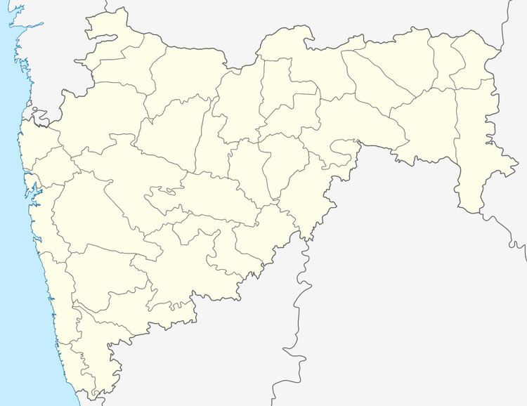
Map of Washi, Maharashtra 413503
There are two villages in the Washi Nagar panchayat: Washi, Kavdewadi, Kelewadi.
Demographics
In the 2001 India census the village of Washi had 13,338 inhabitants, with 6,948 males (52.1%) and 6,390 females (47.9%), for a gender ratio of 920 females for every thousand males.
In the 2011 India census the village of Washi was reported as having 7,826 inhabitants. There is no explanation of the decrease from 2001 to 2011.