Region Vidharba Elevation 265 m (869 ft) Area 4.36 km² Area code +917184 | Time zone IST (UTC+5:30) Population 13,058 (2011) | |
 | ||
Warthi (Marathi-वरठी) is the census town of the Mohadi tehsil of Bhandara District of Maharashtra, India. It is situated on both sides of Bhandara–Tumsar State Way. It is also known as Bhandara Road as the Railway station of Bhandara is situated in Warthi.The main railway station of Bhandara District is at Warthi. Warthi is famous for Sunflag Industry where many people work. Sunflag industry is an iron and steel industry.Mainly the people who work in this industry live in Bhandara town. The town speaks Marathi language as well as Hindi language.
Contents
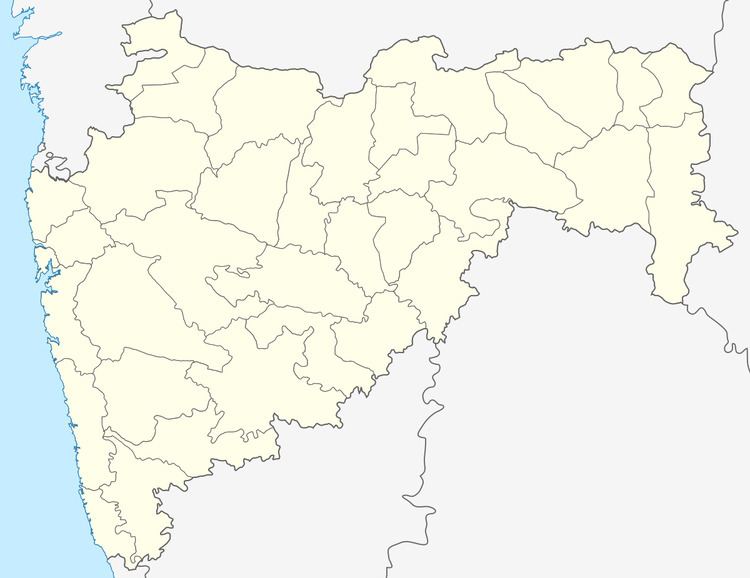
Map of Warthi, Maharashtra
Education
There is a state government school in Warthi.The Sunflag iron and steel industry is also running a school for the children of their employees as well for the local people. The Sunflag school is CBSE affiliated and most of the district toppers come from this school only.
Demographics
Warthi has population of 13,058 of which 6,629 are males while 6,429 are females as per report released by 2011 Census of India.
Population of Children with age of 0-6 is 1443 which is 11.05 % of total population of Town . In Warthi, Female Sex Ratio is of 970 against state average of 929. Moreover Child Sex Ratio in Warthi is around 927 compared to Maharashtra state average of 894. Literacy rate of Warthi City is 90.75 % higher than state average of 82.34 %. In Warthi, Male literacy is around 94.91 % while female literacy rate is 86.49 %.
Religion
Hinduism is predominant religion in Warthi followed Buddhism and Islam.
Geography
Warthi is located at 21.17 latitude and 79.65 longitude .The elevation is 800 feet.
