
District UMgungundlovu Postal code (street) 3233 Local time Sunday 1:50 AM | PO box 3233 | |
 | ||
Weather 17°C, Wind N at 6 km/h, 94% Humidity | ||
Wartburg is a small town located approximately 40 kilometres (25 mi) to the north-east of Pietermaritzburg, South Africa, and is located in the Umgungundlovu District Municipality.
Map of Wartburg, 3233, South Africa
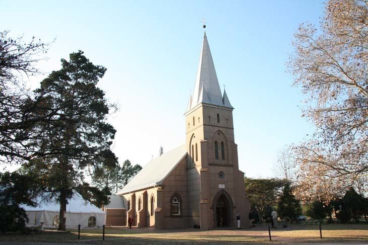
Village 27 km north-east of Pietermaritzburg and 50 km south of Greytown. Administered by a health committee since 1950, it was named after the castle in Thuringia where Martin Luther translated the Bible into German.
It is situated in an agricultural area, dominated by sugar cane fields and timber plantations.
The town is served by two schools: Wartburg Kirchdorf School and Georgenau School, which originally was the Wartburg Kirchdorf Junior School. The Wartburg Kirchdorf School caters to students from pre-school right through till grade 12. The School has a wealth of facilities, having rugby fields, cricket fields, hockey fields, cricket nets, tennis courts, a swimming pool, and an athletics track and equipment, and a library.
The town was settled in the 1850s by German families, and is named after the Wartburg Castle in Eisenach, Germany. To this day, the Wartburg area has had a large population of German speaking citizens, who predominantly farm in the surrounding area around the town.