
Population 302 (2006 census) Local time Sunday 7:30 AM | Postcode(s) 2710 County Townsend Postal code 2710 | |
 | ||
Weather 16°C, Wind W at 19 km/h, 76% Humidity | ||
Warragoon is a small community in the central part of the Riverina. It is situated by road, about 11 kilometres north west from Tuppal and 14 kilometres south west from Blighty. At the 2006 census, Warragoon had a population of 302.
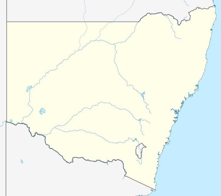
Map of Warragoon NSW 2710, Australia
Warragoon has a public school situated on the Riverina Highway.
References
Warragoon, New South Wales Wikipedia(Text) CC BY-SA