
Population 220 Civil parish Warnford Local time Saturday 10:08 PM | OS grid reference SU624231 Sovereign state United Kingdom | |
 | ||
Weather 9°C, Wind E at 10 km/h, 82% Humidity | ||
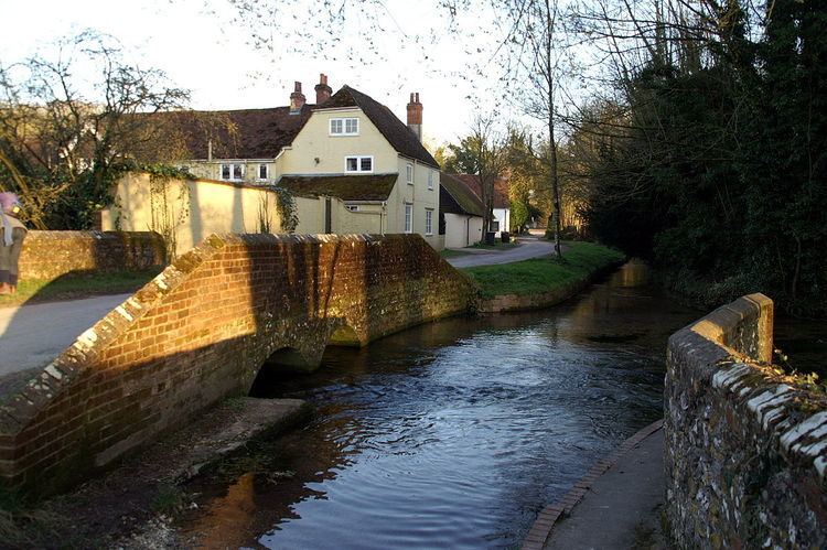
Warnford is a village and civil parish in the City of Winchester district of Hampshire, England.
Map of Warnford, Southampton, UK
The village lies on the A32 in the valley of the River Meon between West Meon and Exton. It has a church and a pub, The George and Falcon, which is grade II listed and dates to the 16th century. There is an infrequent bus service from Bishop's Waltham to Petersfield. The village was by-passed by the former Meon Valley Railway (now a footpath and cycleway), which ran down the east of the valley.
The Church of Our Lady, to the south of the village, was rebuilt in the 12th centuryand contains relics of an earlier Saxon church. The ruins of the 13th century St. John's or King John's House are nearby. There are watercress beds at two places in the valley.
The Beacon Hill National Nature Reserve and SSSI is at the western end of the parish, a chalk hill some 201 metres (659 ft) high flanked by numerous steep-sided dry valleys. The Monarch's Way long distance footpath crosses the valley in Warnford. The route of the South Downs Way, which shares short sections of the Monarch's Way route either side of the parish, has been contentious and was the subject of public inquiries in 2004 and 2006. Currently Ordnance Survey maps show both a route through Warnford, and a southerly route past Beacon Hill via Exton.
Warnford is currently in the Winchester parliamentary constituency but will be in the new Meon Valley in future elections.