
Country United States Time zone Eastern (EST) (UTC-5) Zip code 24484 Local time Saturday 4:28 PM | ZIP codes 24484 Population 123 (2010) | |
 | ||
Weather 19°C, Wind NW at 18 km/h, 14% Humidity Points of interest The Homestead, Jefferson Pools, Bath County Historical | ||
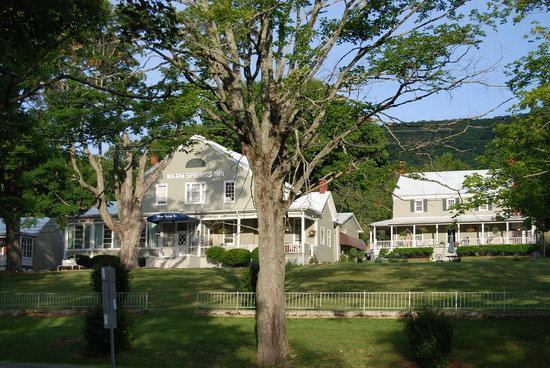
Warm Springs is a census-designated place (CDP) in and the county seat of Bath County, Virginia, United States. The population as of the 2010 Census was 123. It lies along U.S. Route 220 near the center of the county. Warm Springs includes the historical mill town called Germantown.
Contents
Map of Warm Springs, VA 24484, USA
History and geography
The community grew up around the courthouse and the nearby Jefferson Pools. The Bath County Health Department, Sheriff's Department, and other county offices are located adjacent to the courthouse. The Warm Springs Post Office handles mail for the 24484 zip code. Other notable landmarks in Warm Springs are the Bath County Historical Society and the Waterwheel Restaurant, which is located inside of a converted mill. Warm Springs Gallery, located just downhill from the courthouse, specializes in contemporary fine art. Apart from these landmarks, Warm Springs is primarily residential in character, with many renovated inns and historic homes which serve as accommodation for out-of-town visitors. Cowpasture River draws visitors for fishing and kayaking.
Bath County is fairly unusual in Virginia in that it contains no incorporated towns. Nearby Hot Springs is perhaps more well-known than Warm Springs, though the two are separated by only a few miles.
Jefferson Pools, Hidden Valley Rock Shelter (44BA31), Homestead Dairy Barns, Oakley Farm, and Three Hills are listed on the National Register of Historic Places.