
Country United States Elevation 1,653 m Local time Saturday 1:28 PM | State Nevada Time zone Pacific (UTC-8) Zip code 89049 | |
 | ||
Weather 11°C, Wind W at 39 km/h, 27% Humidity | ||
Warm springs nevada
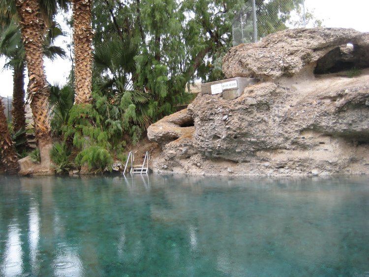
Warm Springs is an unincorporated community in the Tonopah Basin and Nye County, Nevada, near the mountain pass which divides the Kawich and Hot Creek ranges (at 38.19°N 116.37°W / 38.19; -116.37). It is located at the junction of U.S. Route 6 and State Route 375 (the "Extraterrestrial Highway"), around 40 miles east of Tonopah. There is quite literally nothing here.
Contents
Map of Warm Springs, NV, USA
History
The first settlement in Warm Springs was in 1866, when it served as a stopover for stagecoaches and other travellers. Never more than a tiny settlement, Warm Springs' population dwindled until it became a ghost town. All that remained was a single streetlight, a telephone box, and several huts built over pools filled by the warm springs that give the town its name.
Warm Springs is also the name of a new community in Nevada at a different location, intended to have a final population of 10,000. Construction was completed in 2007.