
Country India District Barwani Vehicle registration MP | State Madhya Pradesh Time zone IST (UTC+5:30) ISO 3166 code ISO 3166-2:IN | |
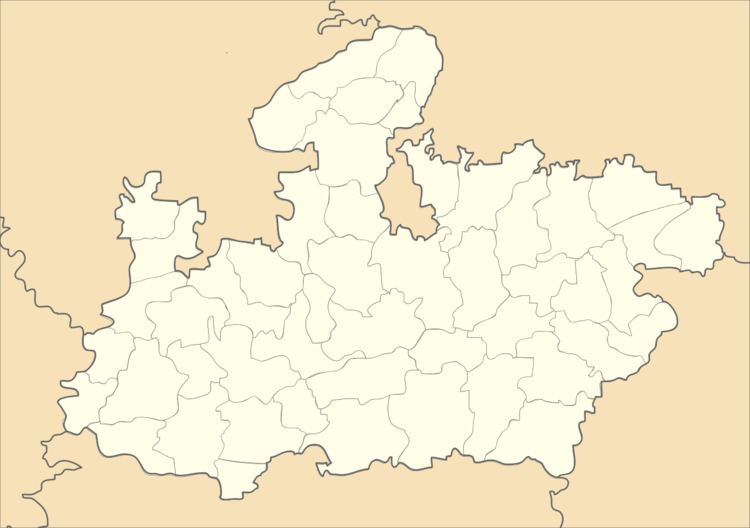 | ||
Warla, Madhya Pradesh is a village & Tehsil in Barwani district in the Indian state of Madhya Pradesh.
Contents
Map of Warla, Madhya Pradesh
Geography
Warla is located in the Narmada Valley, at 21.43°N 75.17°E / 21.43; 75.17. It has an average elevation of 271 m (889 ft). Situated on the border of Madhya Pradesh & Maharashtra, Warla lies 41 km (25 mi) from Sendhwa. It is a Tehsil of Barwani district.
References
Warla, Madhya Pradesh Wikipedia(Text) CC BY-SA