
Country United States ZIP codes 78074 Elevation 410 m | Time zone Central (CST) (UTC-6) GNIS feature ID 1349492 Local time Saturday 3:00 PM | |
 | ||
Weather 27°C, Wind S at 26 km/h, 50% Humidity | ||
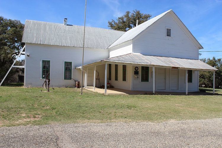
Waring is an unincorporated community in northwestern Kendall County, Texas, United States. It lies along local roads and the Guadalupe River, northwest of the city of Boerne, the county seat of Kendall County. Its elevation is 1,345 feet (410 m). Although Waring is unincorporated, it has a post office, with the ZIP code of 78074; the ZCTA for ZIP Code 78074 had a population of 59 at the 2000 census. The community is part of the San Antonio Metropolitan Statistical Area.
Contents
Map of Waring, TX 78006, USA
Founded in 1887 by R.P.M. Waring, the community was named for its founder's hometown of Waringford in Ireland; the name was not changed until 1901. From its foundation until service ceased in 1970, the community was a station on the Kerrville branch of the San Antonio and Aransas Pass Railway.