
Country Canada Regional district Kootenay-Boundary Time zone PST (UTC-8) Elevation 600 m Population 1,729 (2006) Local time Sunday 7:24 PM | Region West Kootenay Incorporated 1952 Highways 3B, 22 Area 190 ha | |
 | ||
Weather 7°C, Wind NW at 11 km/h, 65% Humidity | ||
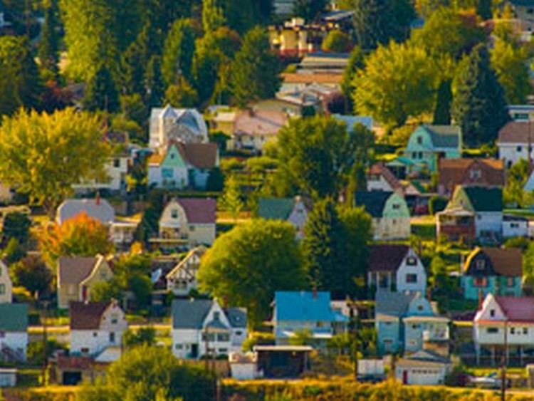
Warfield is a village located in southern British Columbia in the West Kootenay region. It is located at the west end of Trail at the bottom of the Rossland hill.
Map of Warfield, BC, Canada
References
Warfield, British Columbia Wikipedia(Text) CC BY-SA