
- summer (DST) CDT (UTC-5) Postal code 62952 | Local time Sunday 9:04 PM Area code 618 | |
 | ||
Weather 22°C, Wind S at 24 km/h, 48% Humidity | ||
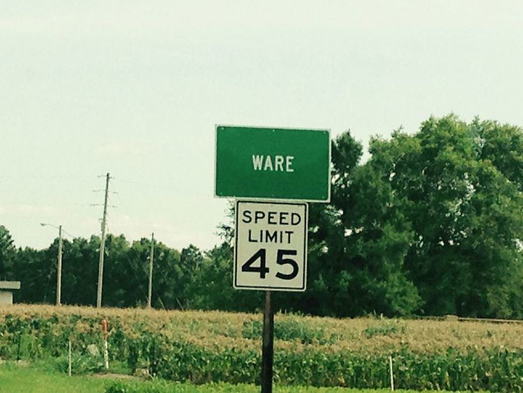
Ware is an unincorporated community in Union County, Illinois, and is located near Jonesboro.
Contents
Map of Ware, IL 62952, USA
History
The earliest inhabitants of the area around Ware were of Late Woodland and Mississippian cultures. A village with four mounds was occupied between around 800 and 1300 A.D. One of the four mounds was destroyed in the construction of Illinois Route 3. The Ware Mounds and Village Site is situated just west of Ware. In January 1839, thousands of Cherokee Indians being forcibly relocated from their lands in Georgia to Indian Territory (Oklahoma) passed through Ware. Because floating ice the Cherokee were unable to cross the Mississippi River and camped along Dutch Creek. Due to the intense cold many died.
Community
The Illinois Central Railroad and Illinois Route 3 pass through Ware, Illinois, connecting the community to the rest of the state. Two churches, Ware Baptist Church and Ware United Methodist Church, provide religious services.
2000 Census
As of Census 2000, the population is 3,422 It is named for politician and farmer Jesse Ware.