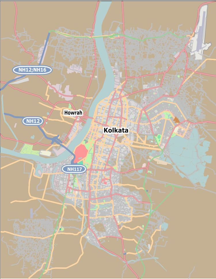
City Kolkata Time zone IST (UTC+5:30) Population 23,922 (2011) Area code(s) +91 33 | PIN 700 009 Parliamentary constituency Kolkata Uttar Borough 2 | |
 | ||
Ward No. 15, Kolkata Municipal Corporation is an administrative division of Kolkata Municipal Corporation in Borough No. 2, covering parts of Maniktala (Bangiya Sahitya Parishad) neighbourhood in north Kolkata, in the Indian state of West Bengal. It forms a city municipal corporation council electoral constituency and is a part of Maniktala (Vidhan Sabha constituency).
Contents
Overview
The boundaries of the ward are as follows: Sri Aurobindo Sarani is to the north. The Circular Canal is to the east. Vivekananda Road is to the south. Acharya Prafulla Chandra Road is to the west.
Demographics
As per 2011 Census of India Ward No. 15, Kolkata Municipal Corporation had a total population of 23,922, of which 12,641 (53%) were males and 11,281 (47%) were females. Population below 6 years was 1,633. The total number of literates in Ward No. 15 was 19,812 (88.89 % of the population over 6 years).
Source: DNA West Bengal Municipal Election Results, 28th April 2015
Results of Kolkata Municipal Corporation Election, 2010
