
Population 887 (2011 census) LGA(s) Shire of Yarra Ranges Warburton East McMahons Creek Postal code 3799 | Postcode(s) 3799 Federal Division(s) McEwen Elevation 159 m State electorate(s) Eildon | |
 | ||
Location 67 km (42 mi) NE of Melbourne
6 km (4 mi) E of Warburton Weather 12°C, Wind S at 26 km/h, 98% Humidity Points of interest Yarra River, Yarra Ranges National, Redwood Forest | ||
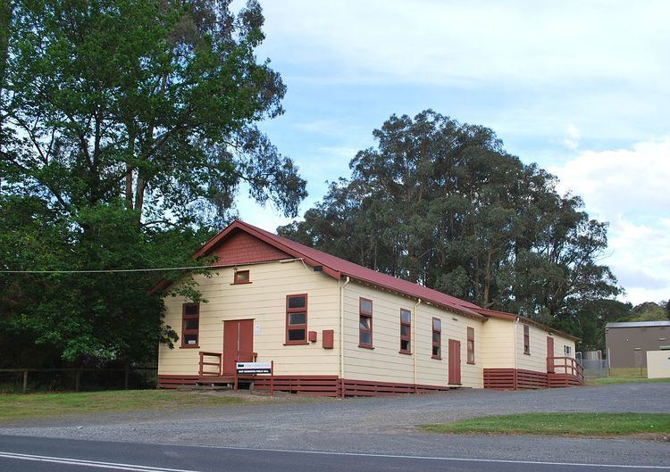
Warburton East is a town in Victoria, Australia, 67 km east from Melbourne's central business district. Its local government area is the Shire of Yarra Ranges. At the 2011 census, Warburton East had a population of 887.
Map of East Warburton VIC 3799, Australia
The Post Office opened on 1 November 1921 and closed in 1975.
References
Warburton East, Victoria Wikipedia(Text) CC BY-SA