
Postcode(s) 2680 Local time Monday 10:35 AM | County Sturt Elevation 112 m Postal code 2680 | |
 | ||
Weather 15°C, Wind SW at 34 km/h, 58% Humidity | ||
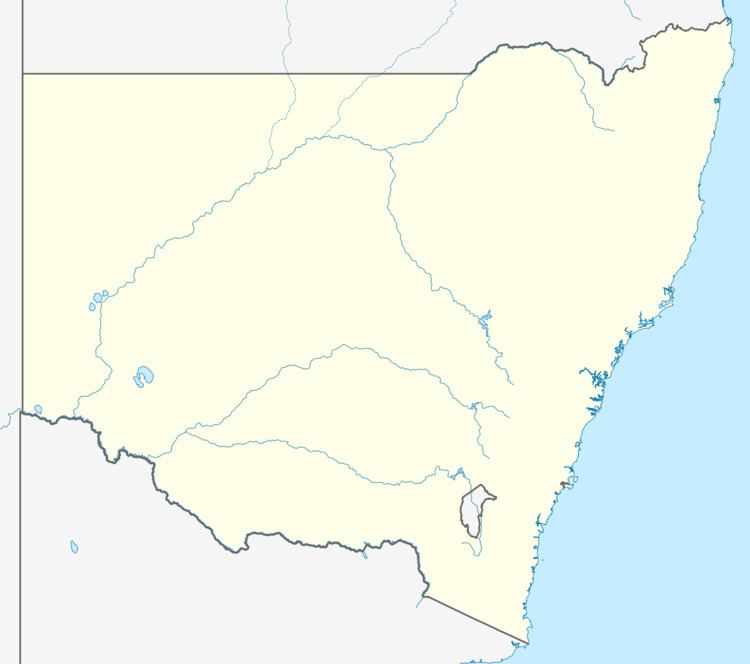
Warburn is a small rural community in the central north part of the Riverina. It is situated by road, about 10 kilometres south east from Tabbita and 12 kilometres north west from Griffith.
Map of Warburn NSW 2680, Australia
References
Warburn, New South Wales Wikipedia(Text) CC BY-SA