
Local time Monday 2:08 AM | Elevation 281 m | |
 | ||
Weather 5°C, Wind S at 8 km/h, 87% Humidity | ||
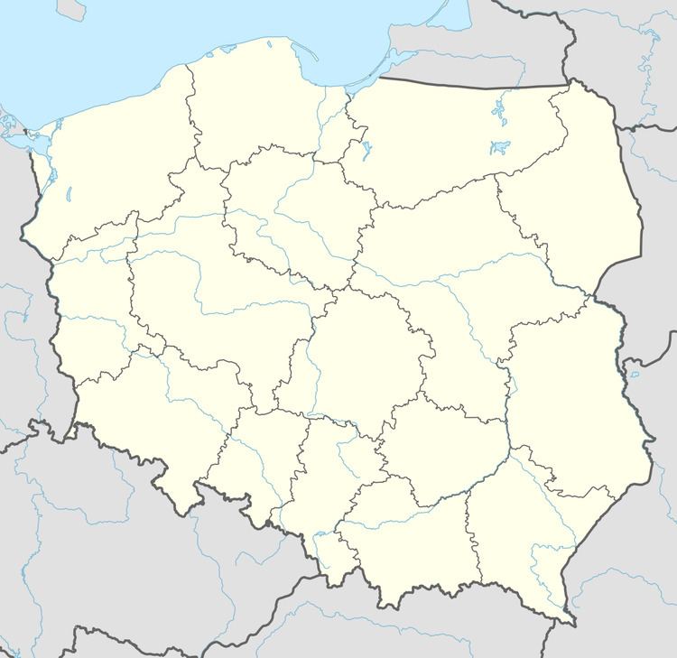
Wara [ˈvara] (Ukrainian: Вара Vara) is a village in the administrative district of Gmina Nozdrzec, within Brzozów County, Subcarpathian Voivodeship, in south-eastern Poland. It lies approximately 3 kilometres (2 mi) south-east of Nozdrzec, 17 km (11 mi) north-east of Brzozów, and 34 km (21 mi) south-east of the regional capital Rzeszów.
Map of Wara, Poland
References
Wara, Poland Wikipedia(Text) CC BY-SA