
Time zone CST (UTC-6) Elevation 220 m Local time Sunday 4:56 PM ZIP codes 61727, 61745, 61777 | Established November 2, 1858 GNIS feature ID 0429892 Area 75.29 km² Population 944 (2010) | |
 | ||
Weather 23°C, Wind S at 45 km/h, 58% Humidity | ||
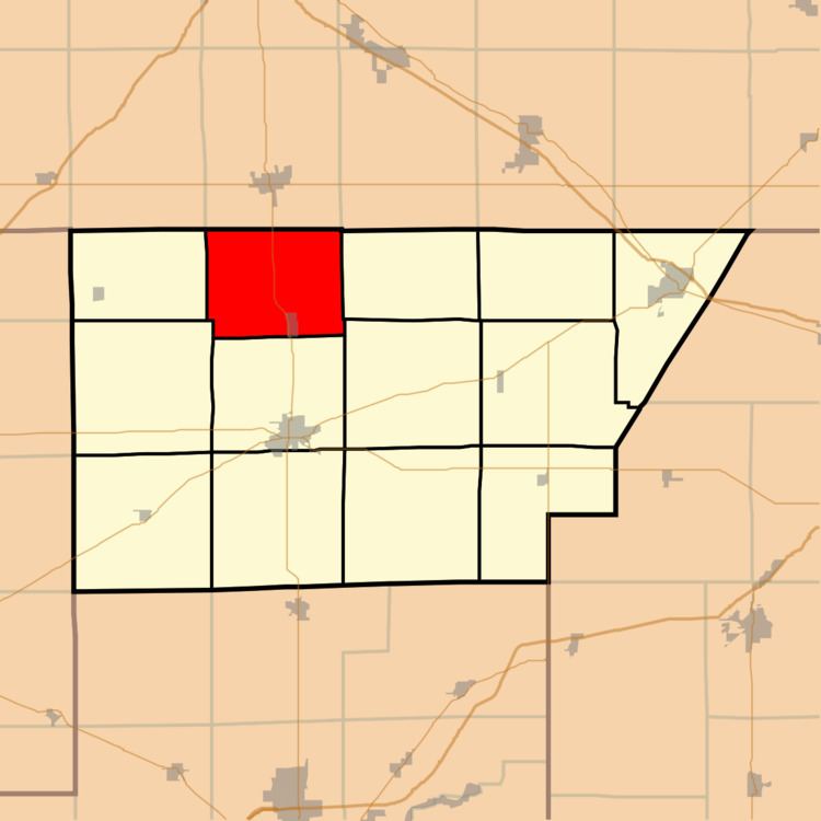
Wapella Township is one of thirteen townships in DeWitt County, Illinois, USA. As of the 2010 census, its population was 944 and it contained 415 housing units.
Contents
- Map of Wapella Township IL USA
- Geography
- Cities towns villages
- Unincorporated towns
- Cemeteries
- School districts
- Political districts
- References
Map of Wapella Township, IL, USA
Geography
According to the 2010 census, the township has a total area of 29.07 square miles (75.3 km2), all land.
Cities, towns, villages
Unincorporated towns
(This list is based on USGS data and may include former settlements.)
Cemeteries
The township contains these four cemeteries: Crum, Long Point, Saint Particks and Sugar Grove.
School districts
Political districts
References
Wapella Township, DeWitt County, Illinois Wikipedia(Text) CC BY-SA