
Country United States Elevation 1,061 m Local time Sunday 4:13 PM | GNIS feature ID 0485198 Area 937.1 km² Population 2,104 (2000) | |
 | ||
Weather 13°C, Wind NW at 48 km/h, 62% Humidity | ||
Wano Township is a township in Cheyenne County, Kansas, USA. As of the 2000 census, its population was 2,104.
Contents
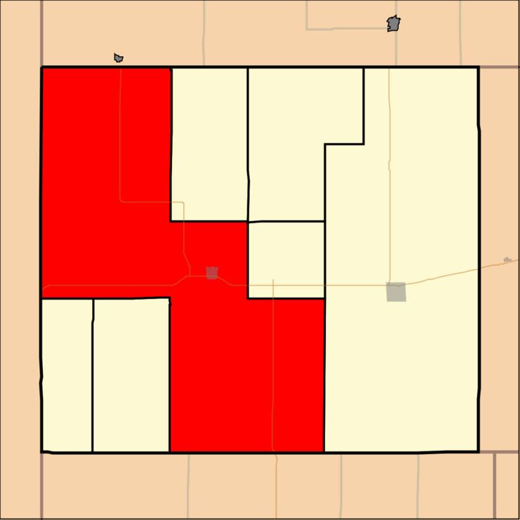
Map of Wano, KS, USA
Geography
Wano Township covers an area of 361.83 square miles (937.1 km2) and contains one incorporated settlement, St. Francis (the county seat). According to the USGS, it contains eight cemeteries: Emanuel, Gar, Hope Valley, Lawn Ridge, Saint Francis, Saint Pauls, Salem and Salem Evangelical.
The streams of Cherry Creek, Drury Creek, Fish Creek, Sand Creek, Spring Creek and West Fork Sand Creek run through this township.
Transportation
Wano Township contains two airports or landing strips: Cheyenne County Municipal Airport and Saint Francis Municipal Airport.
References
Wano Township, Cheyenne County, Kansas Wikipedia(Text) CC BY-SA