
District Cuxhaven Time zone CET/CEST (UTC+1/+2) Area 53.93 km² Local time Sunday 11:03 PM Dialling code 04757 | Elevation 5 m (16 ft) Postal codes 21776 Postal code 21776 Population 2,340 (31 Dec 2008) | |
 | ||
Weather 11°C, Wind S at 13 km/h, 69% Humidity | ||
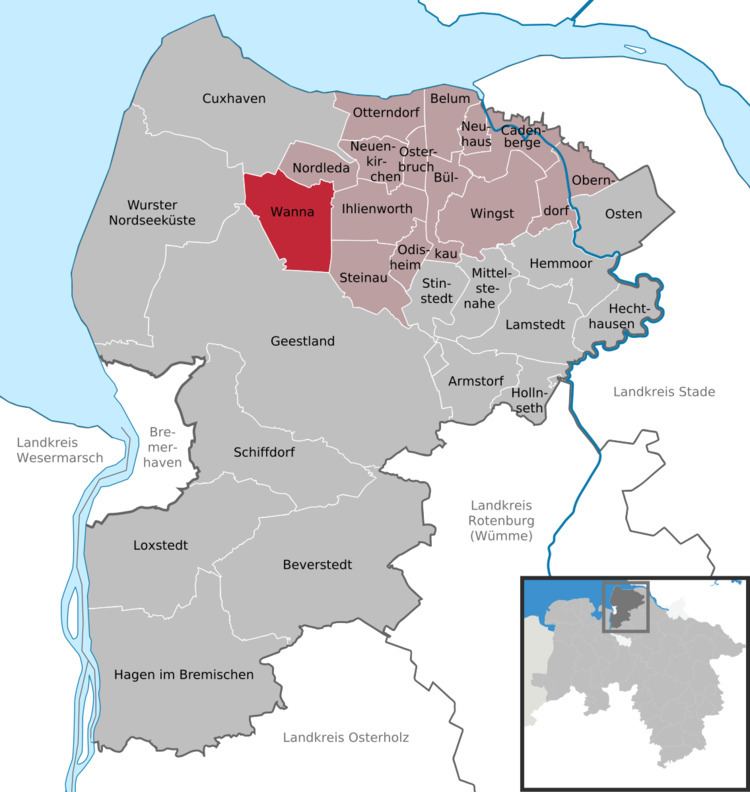
Wanna is a village and a municipality in the integrated municipality of Land Hadeln, Lower Saxony, Germany.
Map of Wanna, Germany
Wanna belongs to the Land of Hadeln, first an exclave of the younger Duchy of Saxony and after its de facto dynastic partition in 1296 of the Duchy of Saxe-Lauenburg, established de jure in 1260. In 1728 Emperor Charles VI enfeoffed the George II Augustus and his House of Hanover in personal union with the reverted fief of Saxe-Lauenburg. By a redeployment of Hanoverian territories in 1731 the Hanoverian Duchies of Bremen and Verden were conveyed the administration of the neighboured Land of Hadeln. The Kingdom of Hanover incorporated the Land of Hadeln in a real union and its territory, including Wanna, became part of the new Stade Region, established in 1823.