
Postcode(s) 3758 Population 1,294 (2011 census) | Elevation 307 m (1,007 ft) Wandong Clonbinane Postal code 3758 | |
 | ||
Weather 9°C, Wind SW at 18 km/h, 100% Humidity Location 55 km (34 mi) N of Melbourne; 11 km (7 mi) SE of Kil; 4 km (2 mi) N of Heathcote Junction | ||
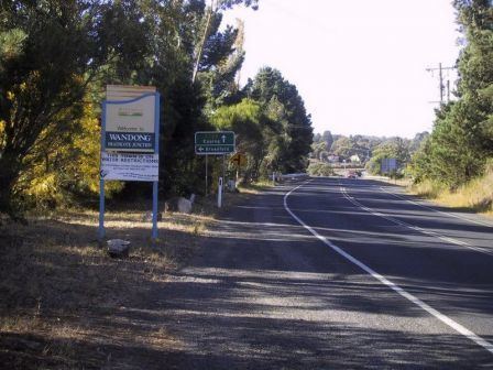
Wandong /ˈwɒndɒŋ/ is a town in Victoria, Australia. The town is about 50 kilometres (30 mi) north of the state capital, Melbourne, on the Hume Highway. It adjoins the town of Heathcote Junction, and at the 2011 census, the two towns had a population of 1,294. The main centre nearest Wandong is Kilmore.
Map of Wandong VIC 3758, Australia
Wandong Post Office opened on 9 October 1876. The town has its own railway station on the Albury-Wodonga and Shepparton railway lines. The local school was originally situated to the south of Wandong/Heathcote Junction and was known as Lightwood Flat Common School when it opened in 1871. The school was transferred to its current site in Wandong in 1882, and is currently known as Wandong Primary School. The school was damaged slightly in the Black Saturday bushfires.
The town hosts the Wandong Country Music Festival.