Postcode(s) 5291 Wandilo Mingbool Postal code 5291 | Elevation 66 m Local time Sunday 11:10 PM | |
 | ||
Population 268 (shared with other localities in the “State Suburb of Wandilo”) (2011 census) Location 12 km (7 mi) north of Mount Gambier Weather 10°C, Wind SW at 29 km/h, 85% Humidity | ||
Wandilo is a settlement in the Australian state of South Australia. At the 2011 census, Wandilo shared a population of 268 with the adjoining localities of Dismal Swamp and Wepar. It was named after the railway station on the Mount Gambier railway line, and is recorded to mean "a swamp where native companions resort".
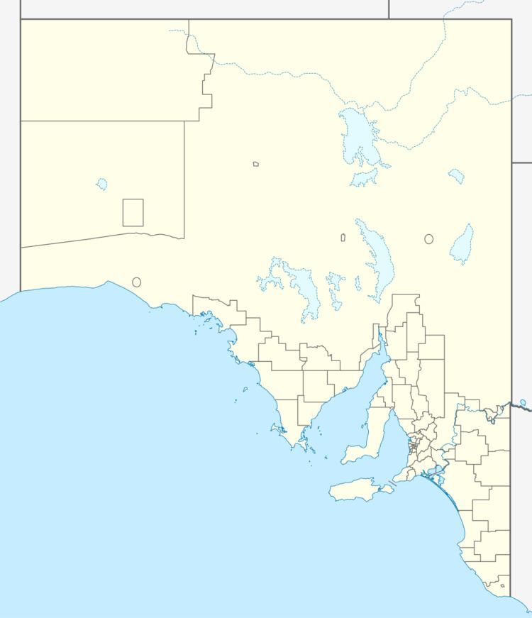
Map of Wandilo SA 5291, Australia
Wandilo was a junction on the railway line, 8 miles (13 km) north of Mount Gambier, with a branch line to Glencoe constructed in 1904, until it was decommissioned in 1959.
References
Wandilo, South Australia Wikipedia(Text) CC BY-SA
