
Country United States FIPS code 23-80040 Elevation 42 m Local time Saturday 8:25 PM | Time zone Eastern (EST) (UTC-5) GNIS feature ID 0582789 Population 353 (2010) Area code 207 | |
 | ||
Weather 4°C, Wind W at 13 km/h, 65% Humidity Area 85.18 km² (76.85 km² Land / 8.34 km² Water) | ||
Waltham is a town in Hancock County, Maine, United States. The population was 353 at the 2010 census.
Contents
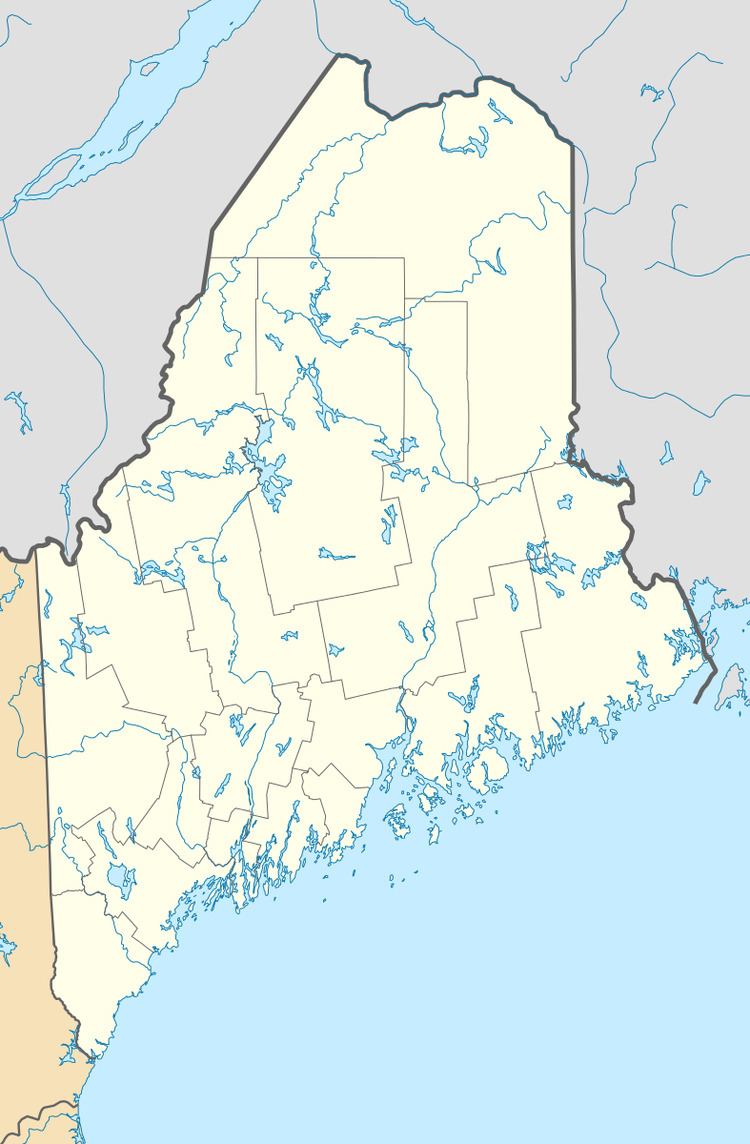
Map of Waltham, ME, USA
Geography
According to the United States Census Bureau, the town has a total area of 32.89 square miles (85.18 km2), of which 29.67 square miles (76.84 km2) is land and 3.22 square miles (8.34 km2) is water.
2010 census
As of the census of 2010, there were 353 people, 150 households, and 103 families residing in the town. The population density was 11.9 inhabitants per square mile (4.6/km2). There were 206 housing units at an average density of 6.9 per square mile (2.7/km2). The racial makeup of the town was 99.7% White and 0.3% from two or more races. Hispanic or Latino of any race were 0.6% of the population.
There were 150 households of which 22.7% had children under the age of 18 living with them, 54.0% were married couples living together, 10.0% had a female householder with no husband present, 4.7% had a male householder with no wife present, and 31.3% were non-families. 22.7% of all households were made up of individuals and 8% had someone living alone who was 65 years of age or older. The average household size was 2.35 and the average family size was 2.70.
The median age in the town was 47.2 years. 15.3% of residents were under the age of 18; 9.6% were between the ages of 18 and 24; 20.9% were from 25 to 44; 38.8% were from 45 to 64; and 15.3% were 65 years of age or older. The gender makeup of the town was 50.1% male and 49.9% female.
2000 census
As of the census of 2000, there were 306 people, 111 households, and 80 families residing in the town. The population density was 10.3 people per square mile (4.0/km²). There were 176 housing units at an average density of 5.9 per square mile (2.3/km²). The racial makeup of the town was 98.69% White, 0.33% Asian, 0.33% from other races, and 0.65% from two or more races. Hispanic or Latino of any race were 0.33% of the population.
There were 111 households out of which 37.8% had children under the age of 18 living with them, 58.6% were married couples living together, 7.2% had a female householder with no husband present, and 27.9% were non-families. 15.3% of all households were made up of individuals and 5.4% had someone living alone who was 65 years of age or older. The average household size was 2.76 and the average family size was 3.10.
In the town, the population was spread out with 28.4% under the age of 18, 10.1% from 18 to 24, 31.7% from 25 to 44, 21.9% from 45 to 64, and 7.8% who were 65 years of age or older. The median age was 36 years. For every 100 females there were 109.6 males. For every 100 females age 18 and over, there were 104.7 males.
The median income for a household in the town was $39,167, and the median income for a family was $40,313. Males had a median income of $23,438 versus $20,625 for females. The per capita income for the town was $13,467. About 15.1% of families and 13.9% of the population were below the poverty line, including 12.8% of those under the age of eighteen and 14.3% of those sixty five or over.