
Country United States County Oakland Time zone Eastern (EST) (UTC-5) ZIP codes 48390-48391 Population 7,127 (2013) | Elevation 942 ft (287 m) Area code(s) 248 Local time Friday 7:23 PM | |
 | ||
Weather 10°C, Wind NW at 19 km/h, 26% Humidity | ||
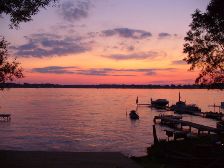
Rudy s pancake house walled lake michigan the best
Walled Lake is a city in the southern central portion of Commerce Township in Oakland County in the U.S. state of Michigan. The population was 6,999 at the 2010 census.
Contents
- Rudy s pancake house walled lake michigan the best
- Map of Walled Lake MI 48390 USA
- Origins of the name
- History
- Geography
- 2010 census
- 2000 census
- Mayor
- City Council
- Police services
- Schools
- Underground Railroad
- References
Map of Walled Lake, MI 48390, USA
Origins of the name
The town's name is said to have been given by the first Euro-American settler, Walter Hewitt, in 1825. Upon his arrival, he noticed what appeared to be a stone wall along the lake's western bank, possibly constructed by earlier Potawatomi Indian tribes.
History
Walled Lake was a village inhabited by Ojibwa and Potowatamie people until about 1830. It appears that these people had relocated from an earlier village in the area that is today Southfield.There was a roller coaster in walled lake.
Geography
According to the United States Census Bureau, the city has a total area of 2.37 square miles (6.14 km2), of which 2.18 square miles (5.65 km2) is land and 0.19 square miles (0.49 km2) is water.
Walled Lake is north of the City of Novi.
2010 census
As of the census of 2010, there were 6,999 people, 3,347 households, and 1,771 families residing in the city. The population density was 3,210.6 inhabitants per square mile (1,239.6/km2). There were 3,689 housing units at an average density of 1,692.2 per square mile (653.4/km2). The racial makeup of the city was 88.7% White, 4.4% African American, 0.4% Native American, 2.8% Asian, 1.1% from other races, and 2.5% from two or more races. Hispanic or Latino of any race were 3.9% of the population.
There were 3,347 households of which 25.4% had children under the age of 18 living with them, 34.4% were married couples living together, 13.7% had a female householder with no husband present, 4.8% had a male householder with no wife present, and 47.1% were non-families. 39.7% of all households were made up of individuals and 12.8% had someone living alone who was 65 years of age or older. The average household size was 2.09 and the average family size was 2.82.
The median age in the city was 39.4 years. 19.9% of residents were under the age of 18; 8% were between the ages of 18 and 24; 30.2% were from 25 to 44; 28.2% were from 45 to 64; and 13.8% were 65 years of age or older. The gender makeup of the city was 46.6% male and 53.4% female.
2000 census
As of the census of 2000, there were 6,713 people, 3,158 households, and 1,689 families residing in the city. The population density was 2,956.9 per square mile (1,141.8/km²). There were 3,390 housing units at an average density of 1,493.2 per square mile (576.6/km²). The racial makeup of the city was 95.34% White, 0.73% African American, 0.31% Native American, 1.70% Asian, 0.49% from other races, and 1.43% from two or more races. Hispanic or Latino of any race were 1.68% of the population.
There were 3,158 households out of which 26.2% had children under the age of 18 living with them, 39.0% were married couples living together, 11.5% had a female householder with no husband present, and 46.5% were non-families. 39.8% of all households were made up of individuals and 12.4% had someone living alone who was 65 years of age or older. The average household size was 2.12 and the average family size was 2.88.
In the city, the population was spread out with 21.3% under the age of 18, 7.4% from 18 to 24, 36.8% from 25 to 44, 22.5% from 45 to 64, and 12.0% who were 65 years of age or older. The median age was 37 years. For every 100 females there were 85.7 males. For every 100 females age 18 and over, there were 81.1 males.
The median income for a household in the city was $45,386, and the median income for a family was $55,420. Males had a median income of $45,420 versus $31,021 for females. The per capita income for the city was $24,199. About 2.9% of families and 5.0% of the population were below the poverty line, including 5.9% of those under age 18 and 5.1% of those age 65 or over.
Mayor
The mayor of Walled Lake is Linda Ackley.
City Council
The Council consists of six members, including a mayor pro tem, elected to four-year terms. Current Council members include: Casey Ambrose, William Sturgeon, John Owsinek, Tamra Loch and Dennis Yezbick. The Mayor Pro Tem is Robert Robertson.
Police services
In February 2007 Walled Lake and Wolverine Lake agreed to share police services; Walled Lake took responsibility for dispatch services, and all police operations in Wolverine Lake were moved to Walled Lake.
Schools
The Walled Lake Consolidated Schools serves Walled Lake and has its district headquarters, the Educational Service Center, in the city. The district's Community Education Center is also in Walled Lake.
The schools within the city limits are Mary Helen Guest Elementary School and Walled Lake Elementary School. Most of the city is zoned to these schools. Portions are zoned to Meadowbrook Elementary School and Hickory Woods Elementary School.
Portions are zoned to James R. Geisler Middle School, and portions are zoned to Sarah Banks Middle School. Most of Walled Lake is zoned to Walled Lake Western High School, while a portion of Walled Lake is zoned to Walled Lake Central High School.
Underground Railroad
Resting spots along the Underground Railroad, where runaway slaves could sleep and eat, were called "depots". One of these was the Foster Farmhouse (built in 1833) in Walled Lake, which served as a refuge for those making their way to freedom in Canada. The Foster Farmhouse was located on Pontiac Trail near 15 mile road until 1997, when it was moved to Riley Park in downtown Walled Lake to avoid demolition.