
OS grid reference NZ283655 Sovereign state United Kingdom Dialling code 191 | Post town NEWCASTLE UPON TYNE Postcode district NE2 | |
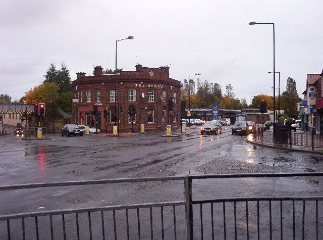 | ||
Walkergate is an area and electoral ward in the city of Newcastle upon Tyne in Tyne and Wear, England. It is in the east of the city, north of Walker proper, east of the Heaton area and west of Wallsend. Areas within the Walkergate ward include Daisy Hill, Eastfield, Walkerdene and Walkerville. Walkergate Metro station which was opened in 1982 serves the area. This replaced the previous railway station on the same site which was originally known as Walker station from 1839 to 1889 when it was renamed Walker Gate station.
Walkergate Hospital was built in 1888 originally as a hospital for Infectious Diseases - scarlet fever, diphtheria, typhoid, tuberculosis and later, polio. The hospital was closed in 2011. In 2012 the Benfield Park Healthcare and Diagnostic Centre was opened on the site of the old Walkergate Hospital. The centre offers GP services, hospital clinics and a pharmacy.
Schools within the Walkergate ward area include Walkergate Primary School, Benfield School and Walker Technology College.
At the 2001 census, there were 9,745 people in Walkergate, reducing to 9,463 at the 2011 Census, making up 3.8% of the city's population.